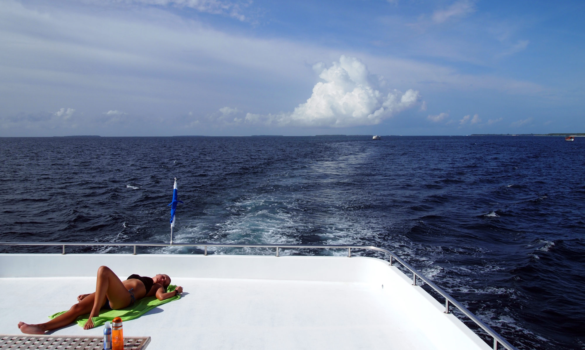
A land and sea of mystery and enchantment… and my home for 7 of the last 10 days … sort of.
I enjoyed the hospitality of the Explorer Ventures Turks and Caicos live-aboard.
And its considered “Caribbean” even though its in the North Atlantic … its just one of myriad contradictions in the tropical region.
It matters how you define “Caribbean” – if we talk about it geologically it involves the Caribbean Plate which has the Cocos Plate to the West subducting beneath it causing the isthmus to form as Central America. To the East the Crust surface of the Atlantic Ocean is being subducted creating a string of volcanic islands from Montserrat to Grenada. To the North and South the American plates has slip-strike tectonic interactions causing earthquakes like the one in Haiti.
From an aquatic viewpoint its pretty clear… the Caribbean Sea is bordered by Central America from the Yucatan peninsula to Columbia and Venezuela in South American. The Greater and Lesser Antilles establish the border between the North Atlantic and the Gulf of Mexico. Most Caribbean Islands have a Caribbean side and an ocean side. (Cuba also has coastline on the Gulf of Mexico and Jamaica and the Caymans are completely within the Caribbean.)
But this is where the screwiness starts. First these island names — Antilles– It was not easy to track them down etymologically… it turns out they are named from a Middle English word for a mythical land to the west of Europe. – Essentially Atlantis..
These islands are also called- collectively the Indies or the West Indies – This is, of course, a throwback to the late 15th Century when Columbus thought he’d found a western route to India.
So the island groups are either named wrong… or named for a mythical place from the 13th Century. The Greater Antilles – just as an FYI – Cuba, Jamaica, Hispaniola and Puerto Rico make up 90 % of the land mass of the Caribbean islands (geographically the tiny Cayman islands are usually included with them) The Lesser Antilles are all the small islands that form the outer reaches of the Caribbean Sea.
Which brings us to the true lunacy of the political arena… The Caribbean Federation includes all of these true Caribbean nations plus Barbados which is out of line with the rest of the Windward Antilles- so technically in the Atlantic and the Bahamas and Turks and Caicos — which are totally in the North Atlantic just north of the Greater Antilles… and all of Central America – including the entirely Pacific coastal El Salvador… and Bermuda … yes Bermuda is considered politically a part of “the Caribbean”. Its nearly 1,000 miles from the Bahamas … 1500 miles from Cuba … All of Florida is closer to the Caribbean than Bermuda.
And this brings us to the Caribs — of the Caribbean region… They were a relatively small but warlike people who had made their way into the western Windward Antilles… only as far back as about 1200 CE – they had been beating up the Tainos on these islands for fewer than 300 years before Columbus showed up.
Beside the Sea and the Islands and the political union, the Carib gave us the English word for cannibal. Cannibalism vastly pre-dated European exploration of North America, but the Carib word for themselves “karibna” works its way to cannibal after stories (they may not have been true) were circulated that the Carib would eat their enemies after battle.
In 1503, Queen Isabella proclaimed that only people whose lives would be improved by slavery could be enslaved. Clearly cannibals fell into that category, so the stories ‘may’ have been circulated to allow for enslaving them.

